 |
| TaHoma |
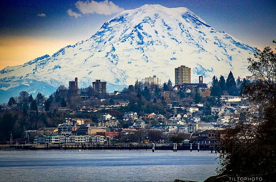
Anyway, as I started to write about Trump's foolish plan to rename the Gulf of Mexico the "Gulf of America," I got sidetracked into a subject more personal, the dumbass name for the mountain pictured above.
In 1792, British Explorer George Vancouver "named" the mountain Mount Rainier after his friend, Rear Admiral Peter Rainier, a man who'd never even been to America, let alone seen the mountain. (I'm wondering if the two had a sexual relationship.)
Anyway, the indigenous people already had a name for the mountain, TaHoma, in the Puyallup dialect, meaning "Mother of Waters."
This name is so appropriate as TaHoma, with 25 glaciers, the largest, Emmons Glacier, measuring 4.3 square miles, melts slightly in the spring, adding considerably to the water flow of the area's rivers and streams. My mom would have been horrified to know that the "little creek" I used to visit in the woods behind our home was actually a raging river in the spring.
In high school, I got into a heated discussion with a kid from Colorado, who claimed that Pikes Peak was "almost as tall" as TaHoma. As I tried to explain back then, that's because the height of mountains is usually given as the elevation above sea level, but that's not the true measure of a mountain from its base to its peak. Since the Rockies are situated in a high plain, the prominence or autonomous height starts at an already high elevation. So, while the elevation above sea level of TaHoma and Pikes Peak is similar, 14,410 ft. to 14,115 ft., the prominence or autonomous height is very different, 13,212 for TaHoma, only 5,509 for Pikes Peak.
The name chosen for my home state, Washington, was the suggestion of Representative Richard H. Stanton of Kentucky, a racist very similar to Trump's closest advisor, White Supremacist Stephen Miller. Residents of the area preferred the name Columbia, in recognition of the huge impact on the region of the massive Columbia River.
In very convoluted reasoning, Rep. Stanton said the name Columbia would be confused with the nation's capital in the District of Columbia, but then suggested the name Washington, the exact name as the city that occupies every square inch of the District of Columbia. LOL!
.jpg) |
| The mouth of the Columbia, 6 miles wide. The black line across the River is the Astoria-Megler Bridge, 4.1 miles long |
If you're familiar with the massive water flow of the Columbia River, you'll understand my shock in 1966 first seeing the Rio Grande. The Columbia is a massive river with 18 dams on the river itself and one tributary, the Snake. At it's mouth, going into the Pacific Ocean, the river is six miles wide. The dams of the Columbia River basin produce 50% of the electricity for the entire Pacific Northwest.
I'd much preferred the name Columbia for my home state, an area having very little to do with George Washington.
.jpeg)


.png)
No comments:
Post a Comment